
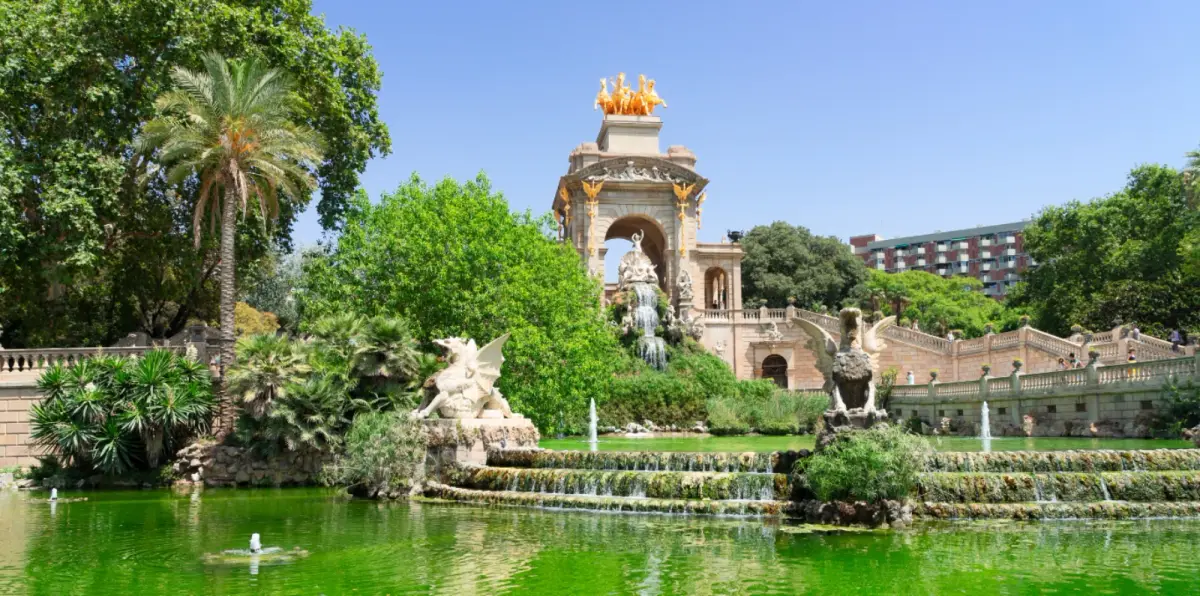

Barcelona looks green from a plane. Ridge on one side, sea on the other, a dark mass of pine and holm oak wrapping the city’s western flank. That impression collapses the moment you stand on a street in the Eixample in August and look for shade. The gap between those two experiences is not perception, it is arithmetic, and the city publishes both numbers without ever putting them side by side.
The statistic with two right answers
Barcelona’s green space indicator has two official values that differ by almost a factor of three, and neither is false. Counting the Collserola natural park, the city reaches 18.1 m² per resident. Excluding it, the figure falls to 6.6 m². The council uses equivalent numbers of its own, 17 m² against 7 m², depending on whether the forest mass is included.
How much green space does Barcelona actually have? Between 6.6 and 18.1 m² per resident, depending on whether Collserola is counted. The WHO minimum is 10 to 15 m², so the city only passes by including a forest on its outer edge. Within the built-up fabric the deficit is real, and one Eixample district drops to 0.59 m².
The numbers in 2 minutes
- The headline figure — 18.1 m² per resident with Collserola, 6.6 m² without it
- What the WHO asks for — 10 to 15 m² per resident as a healthy floor
- The worst district — Dreta de l’Eixample, at 0.59 m² per resident
- How much is built — 64% of the municipality sits under buildings
- What compensates — roughly 100 street trees per 1,000 residents
- The plan — 165 new hectares and one extra square metre per resident this decade
Two Barcelonas, one chart
| Scenario | Green per resident | |
|---|---|---|
| With Collserola | 18.1 m² | |
| WHO minimum | 10-15 m² | |
| Without Collserola | 6.6 m² | |
| Dreta de l’Eixample | 0.59 m² |
Red marks everything below the WHO’s healthy floor. The Dreta de l’Eixample bar is not a rendering error: at this scale, 0.59 m² barely registers as a mark.
So the honest summary is this: Barcelona passes only if you count a forest most of its residents do not visit in a given year. Strip Collserola out and the city sits well below the healthy threshold, and no amount of postcard photography changes that.
Geography explains the gap. According to official council data, forest accounts for half of all green area in Barcelona, and it is concentrated at the municipal edge. Someone in the Eixample has woodland thirty minutes away by transport, not below their window, and the per-capita indicator makes no distinction between green nearby and green far away. Official data puts 64% of the municipality under buildings.
Mistakes visitors make about Barcelona’s green
- Reading 18.1 m² as the lived reality. That figure includes a forest on the rim. The number that describes daily life is 6.6.
- Assuming the rich districts are the leafy ones. They post better ratios only because Collserola falls inside their boundaries.
- Judging Ciutadella as typical. It is the largest flat park in the city, and nothing else in the centre resembles it.
- Thinking street trees are decoration. They are the infrastructure holding the centre together, at roughly 100 per 1,000 residents.
- Expecting park density like Berlin or London. Barcelona is one of Europe’s densest cities. The constraint is land, not will.
0.59 square metres per person
Averages hide the real story, and one number tells it. The Dreta de l’Eixample has around 0.59 m² of green per resident, the most deficient ratio in Barcelona. Less than a single square metre per person, in the district holding the Sagrada Família and the bulk of the city’s visitors.
The top of the table has a catch. Sarrià-Sant Gervasi records over 17.71 m² per resident, an excellent figure, but analysed strictly within its consolidated urban fabric it drops to 6.64 m². Barcelona’s greenest district is only green because Collserola is inside its boundary. Remove the forest and it lands in the same mediocre band as everywhere else.
Then comes the finding that upends the intuition. Research by CREAF and the UAB found that lower-income neighbourhoods hold more trees in public space than wealthy ones, because they compensate with planted roundabouts, tree pits and pocket gardens for the large green infrastructure that richer areas already have. The same work observed that neighbourhoods with higher life expectancy have more trees and more species, while cautioning that further research is needed before claiming direct causation. For how the city divides up, start with the Barcelona districts guide.
Why 57% of the green does not count for much
Quantity is not the whole problem. Some 57% of Barcelona’s green spaces occupy less than 1,500 m² and lack fluid ecological connection to each other. They are islands: a planted square here, a courtyard interior there, with no corridor between them.
The ecological consequence is measurable. Montjuïc and Collserola hold the city’s real biodiversity, with 1,711 and 1,500 taxa respectively, partly because they sit in the ecotone, the species-rich band between city and forest. Small isolated plots cannot sustain that on their own, which is why tree-lined streets function as critical corridors linking the recharge nodes.
That is Barcelona’s quiet compensation. The city carries roughly 100 street trees per 1,000 residents and more than 235,000 urban trees across over 200 species, with a management rule preventing any single species from exceeding 15% of the total, a sensible defence against disease. Experts in urban ecology argue that this street canopy, more than the parks, is what makes the centre liveable. Walk it on the best streets of Barcelona.
The 300-metre test, where Barcelona really loses
Square metres per person is a crude measure, and there is a better one that exposes the problem more honestly: how many residents live within 300 metres of green space. It captures what actually matters, whether you have somewhere to walk to when you step outside.
The European Commission reports that 97% of Valencia’s population lives within 300 metres of urban green space. In Oslo the figure is 95%, achieved through a deliberate green belt that also gives the city two-thirds of Norway’s animal species. Barcelona has no comparable published figure, and its central band is precisely where the test would fail.
A caution before you compare further: cities measure green differently, some counting peri-urban forest and others only managed public space, so cross-border league tables are mostly noise. That is the same methodological trick this article is built to expose. Within Spain, where the criteria align better, the ranking is unkind to Barcelona.
| City | Green per resident | Total green area | Note |
|---|---|---|---|
| Vitoria-Gasteiz | ~42 m² | n/a | Former European Green Capital, 30 km green belt |
| Madrid | Third in Spain | 50.23 km² | First nationally by total surface |
| Barcelona | 5.53 m² | 8.96 km² | Outside Spain’s top 20 per resident |
| Seville | n/a | 7.77 km² | Third by total surface |
Read that slowly. Barcelona sits outside the national top 20 for green per resident, at 5.53 m² by that calculation, against roughly 42 m² in Vitoria-Gasteiz. Madrid holds nearly six times more total green surface, 50.23 km² to Barcelona’s 8.96 km².
The proximity test, city by city
| City | Residents within 300 m of green | |
|---|---|---|
| Valencia | 97% | |
| Oslo | 95% | |
| Barcelona | No published figure |
Valencia and Oslo publish the number because it flatters them. Barcelona does not publish it at all, and the central band is precisely where the test would fail.
The 3-30-300 rule and 178 preventable deaths
There is an international standard that turns all of this into something you can check while walking. The 3-30-300 rule, from researcher Cecil Konijnendijk, holds that every resident should see 3 trees from home, live in a neighbourhood with 30% canopy cover, and have a park within 300 metres. Barcelona meets it unevenly, and the central band fails hardest.
There is a cruder perceptual threshold too: environmental bodies note that visible vegetation across at least 10% of a street stretch is the minimum for a resident to register any sense of wellbeing. Below that, a street reads as asphalt regardless of what is planted.
And here is what makes this public health rather than aesthetics. ISGlobal research indicates that rolling out green axes across the whole city could prevent up to 178 premature deaths a year and measurably reduce antidepressant use and mental health consultations. Urban green is a medical intervention with a body count attached.
What the city is building, and the maths of the promise
The municipal answer has a name and a budget. Green axes are renaturalised streets inside the superblock model, aimed squarely at the centre, where no land remains to open new parks. If you cannot bring residents to a park, run the park down their street.
Alongside them, the council has announced 25 new green spaces on disused plots, adding 10 hectares — around 15 football pitches — with an investment of 46 million euros. They form the first batch of 40 projects under the Climate Plan’s proximity programme, targeting 20 hectares spread across all ten districts. Among them, the Oriol Martorell gardens in Sarrià-Sant Gervasi at over 22,000 m², and a 6,600 m² space in Nou Barris.
The stated goal is one extra square metre of green per resident by the end of the decade, requiring 165 new hectares. Run the numbers before applauding: one square metre on top of today’s 6.6 leaves the city at 7.6, still under the WHO floor. Real progress, not a fix. Anyone planning a stay should weigh this against the best neighbourhoods to stay in Barcelona.
Drought, groundwater and the thing that decides it all
The constraint that will settle whether any of this survives is water, not planning. Persistent drought has damaged the city’s trees and palms, and the council has committed over two million euros to replacing them. Keeping 235,000 trees alive in a Mediterranean climate under water restrictions is the actual problem.
The technical answer is groundwater — the non-potable subterranean supply that sustains survival irrigation and street cleaning. The network runs 78 km of pipes and 25 hydrants, supplying 5,000 m³ a day. The headroom is large: the city draws about 1.2 hm³ a year while the Catalan Water Agency permits up to 4.4 hm³. There is roughly three times more available than is used.
The Consell de Cent interconnection project, at 4 million euros, links the Glòries and Eixample reservoirs so the new green axes are irrigated exclusively with groundwater. That is the quiet crux: green watered with drinking water does not survive the next drought. For how the heat plays out at street level, see what to do in Barcelona in the heat.
Frequently asked questions about green space in Barcelona
How much green space does Barcelona have per person?
Between 6.6 and 18.1 m² per resident, depending on whether Collserola natural park is counted. The city council itself cites 17 m² versus 7 m². The WHO recommends 10 to 15 m², so Barcelona only clears the bar by including a forest on its outer edge.
Which part of Barcelona has the least green space?
The Dreta de l’Eixample, at roughly 0.59 m² per resident, the worst ratio in the city. Sarrià-Sant Gervasi tops the table above 17.71 m², but strip out its Collserola slopes and its built-up fabric drops to 6.64 m², barely above the city average.
Is Barcelona a green city compared to other European cities?
Not by the numbers that matter to residents. Its forest area makes it comparable to Boston when Collserola is included, but 64% of the municipality is built up and the centre depends on street trees rather than parks. Density, not neglect, is the reason.
What are Barcelona’s green axes and do they work?
They are renaturalised streets within the superblock model, designed to add green where no land remains for new parks. ISGlobal research indicates that extending them citywide could prevent up to 178 premature deaths a year and cut antidepressant use.
How does Barcelona water its parks during drought?
With groundwater, not drinking water. The network runs 78 km of pipes and 25 hydrants supplying 5,000 m³ a day. The city currently draws about 1.2 hm³ a year while the Catalan Water Agency permits up to 4.4 hm³, leaving substantial unused capacity.
Barcelona does not need another brochure calling itself green. It needs the green to reach the streets where most people actually live.
While the forest stays on the rim and the residents stay in the middle, the statistic will keep telling a different story from the pavement.